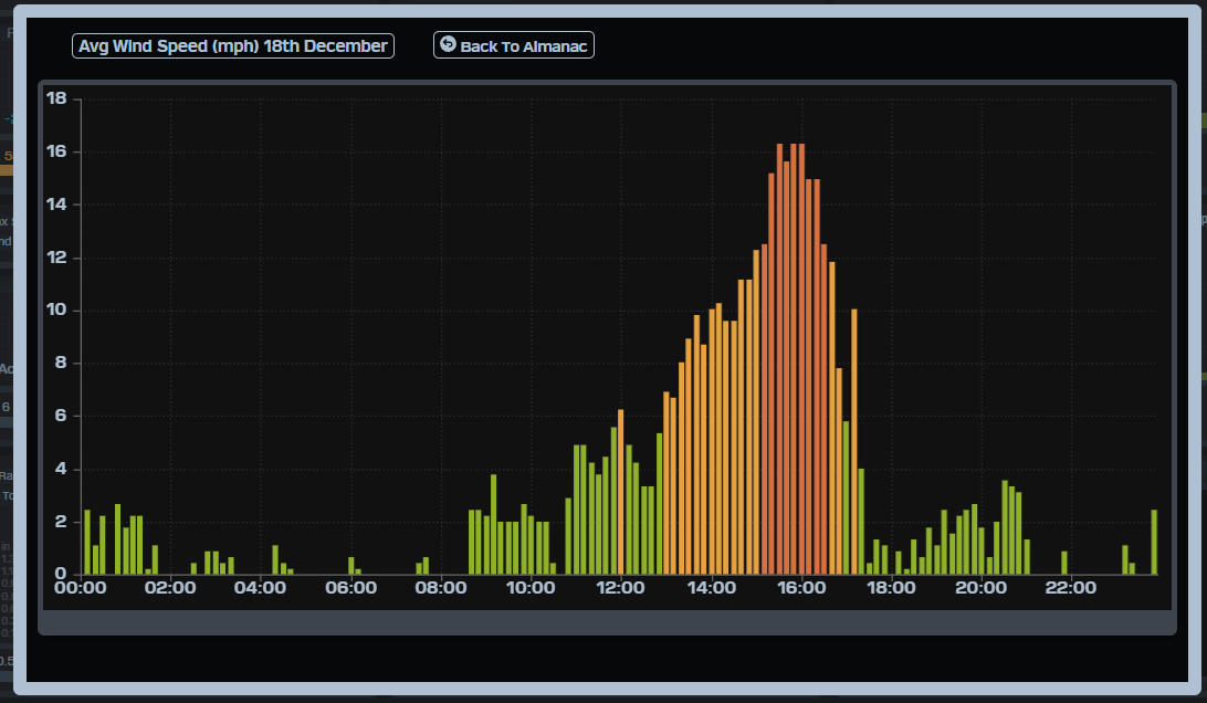
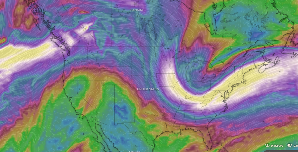
¡Buenos dias! NNW winds at 10 knots were measured very early this morning just east of Cerralvo by the Haiyang polar-orbition satellite, but all of the most recent model forecasts show background winds will fall to near or just below the threshold for fully triggering our wind machine. That said, full sunshine on this shortest day of the year may bring marginal winds this afternoon, but confidence is low. Model forecasts are in good agreement that similar weak background flow will last through Wednesday, and with some high cloud cover expected both Tuesday and Wendnesday, it looks likely that light winds will continue through Christmas Eve. The outlook gets much better on Christmas Day, as models show an elongated ridge of high pressure building over the northern Baja Peninsula, with the surface pressure gradient tightening over our region. Only a few thin, high clouds are expected on Christmas Day, so we should see a significant thermal boost as well. Long-range model forecasts are in good agreement that the background flow over BCS will increase on Friday as the surface pressure gradient continues to tighten, with norte conditions developing here. The latest extended-range forecasts for next weekend differ significantly, however the normally reliable ECMWF model (European Center for Medium Range Weather Forecasting) shows a strong surface high building into the Western U.S. with solid north background flow through at least Tuesday the 30th .
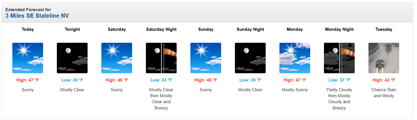
(Tides)- Today…Sunny. North wind 12-14 mph.
- Monday…Sunny. North wind 12-14 mph.
- Tuesday…Mostly sunny. North wind 10-12 mph.
- Wednesday…Partly sunny. North wind 10-12 mph.
- Christmas Day…Mostly sunny. North wind 16-20 mph.
- Friday…Sunny. North wind 20-24 mph.
- Saturday…Sunny. North wind 18-22 mph.