Over the years Tom Spradley has written stories about the history of the La Ventana region, based on his research and interviews. What follows is a compilation of these stories. Get comfortable, grab a cup of coffee and enjoy!
A Brief History of the Founding of La Ventana (Part 1) (Part 2) – How La Ventana Bay was shaped long before modern settlement, beginning with the Pericú people, whose lives, beliefs, and subsistence were closely tied to the sea. They describe centuries of intermittent European contact, driven largely by pearling and exploration, including repeated but unsuccessful Spanish attempts to colonize the region. The narrative culminates with 17th-century expeditions, particularly those led by Francisco de Ortega, that mapped the area and documented Indigenous encounters, laying historical groundwork for La Ventana’s eventual founding much later.
Doña María Rieke Verdugo, Ángel de Rancho Las Canoas – Doña María Rieke Verdugo grew up working hard on her family’s remote Rancho Las Canoas—raising cattle, mining gold, and navigating rugged trails to trade and support her family—and later endured hardship and marginalization before finding work and helping her children survive, all while preserving vivid memories of life in the Sierra and the community that once thrived there.
El Sargento’s First Settlers (Part 1) (Part 2) (Part 3) – How the remote fishing village slowly grew as ranch hands, disillusioned miners, and families like the Luceros migrated there in the early 20th century, building homes, eking out a living from the sea and land, and forming a tight-knit community through shared hardship. Follow individuals such as Doña Sostenes and her family, who traded pottery and survived poverty, and later Guillermo Avilés Lucero, whose life as a fisherman and community member reflects decades of change, resilience, and connection to both El Sargento and neighboring La Ventana.
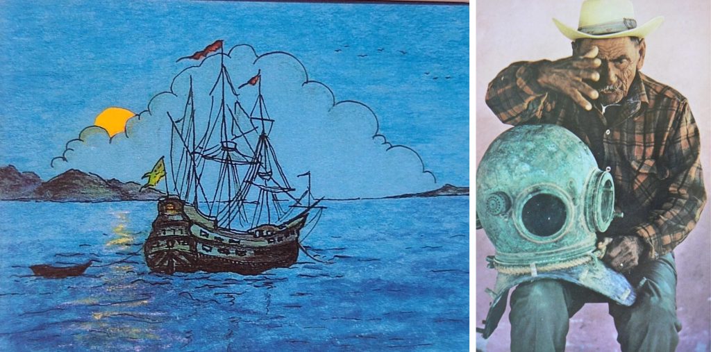
Early Explorers of La Ventana Bay – La Ventana Bay was first used by ancient Pericú peoples and later visited by European pearl explorers, marking the region’s earliest encounters and conflicts.
Salomé León and the Founding of La Ventana – Salomé León was a La Paz pearl diver who, after years at sea and facing the decline of the pearl industry, led his family over rugged terrain to Bahía de La Ventana in the early 20th century and established the fishing settlement that became La Ventana.
History of La Ventana – La Ventana began as a small, resilient settlement founded by families who crossed the desert to live from the sea and land, laying the groundwork for the community that exists today.
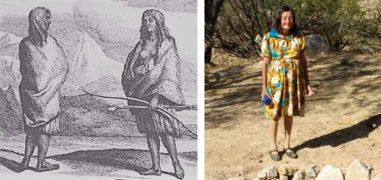
La Caballera de Cerralvo (Part 1) (Part 2) – Daphne, remembered as La Caballera de Cerralvo, lived an extraordinary, often perilous life, from riding and exploring Isla Cerralvo largely on her own as a teenager to later surviving hardship and reclaiming her independence.