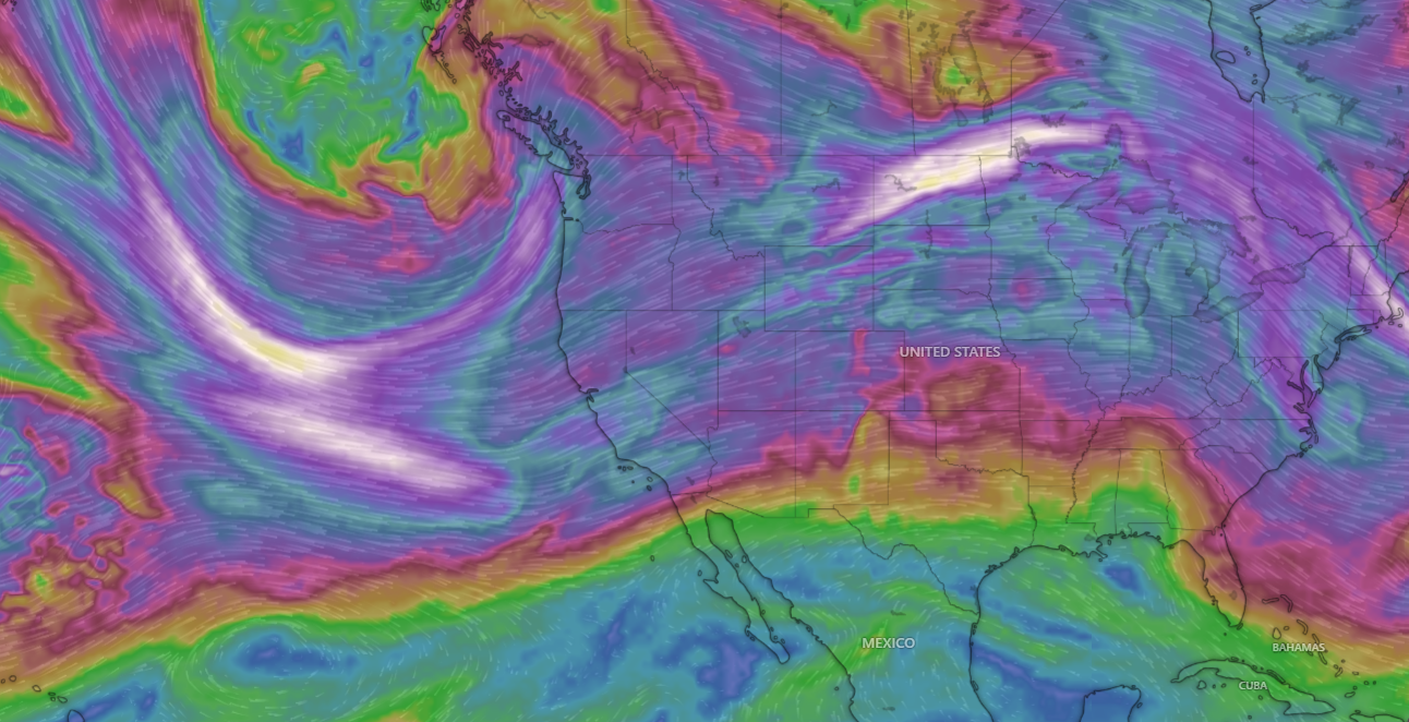
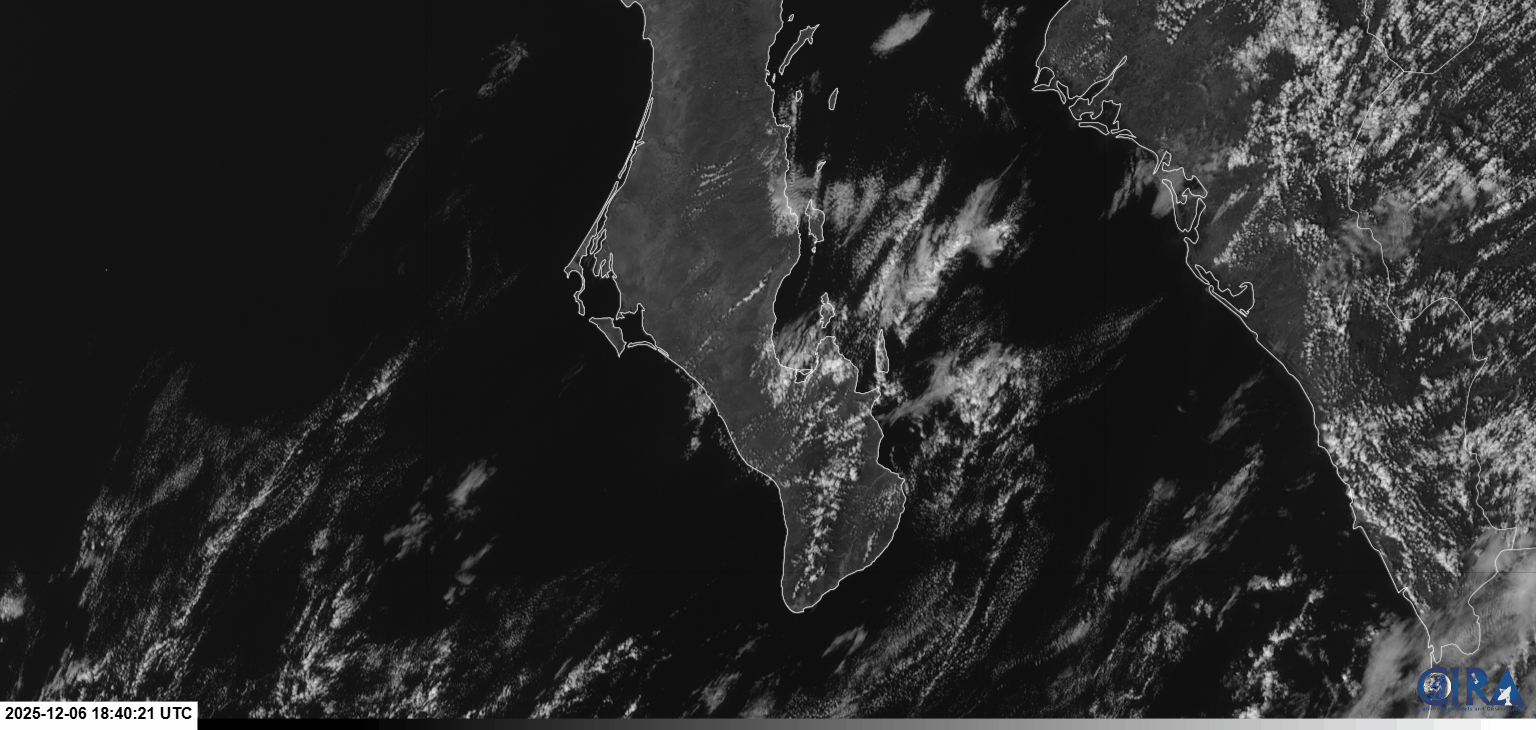
¡Buenos dias! An Oceansat-3 satellite pass around midnight measured NNW winds of 10-15 knots just east of Cerralvo as surface high pressure to our north kept this amazing streak of windy days going. While it sounds like a broken record…it's a good one…as model forecasts show the surface high remaining virtually stationary through Tuesday. Infrared satellite loops early this morning showed clear skies over BCS, so we'll see a good thermal boost as well today. Similar conditions are expected on Tuesday, and most of the models even show a bit of an uptick in the background flow. The surface high will move southward into Arizona on Wednesday, with ample north background flow continuing here. Models are now in good agreement that a new surface high will build into the interior west of the U.S. on Thursday and may be just enough to give us a marginally windy afternoon. Sunny skies and sufficient NNW background flow is forecast for Friday, but that will likely be the last windy afternoon of this current streak as long-range model forecasts are in good agreement that our winds will be light this weeekend.
(Tides)- Today…Sunny. North wind 16-20 mph.
- Tuesday…Sunny. North wind 18-22 mph.
- Wednesday…Sunny. North wind 16-20 mph.
- Thursday…Sunny. Northeast wind 14-16 mph.
- Friday…Sunny. North wind 16-18 mph.
- Saturday…Sunny. Northeast wind 10-12 mph.
- Sunday…Sunny. Northeast wind 10-12 mph.

