La Ventana Stories

Wind – November 27, 2025

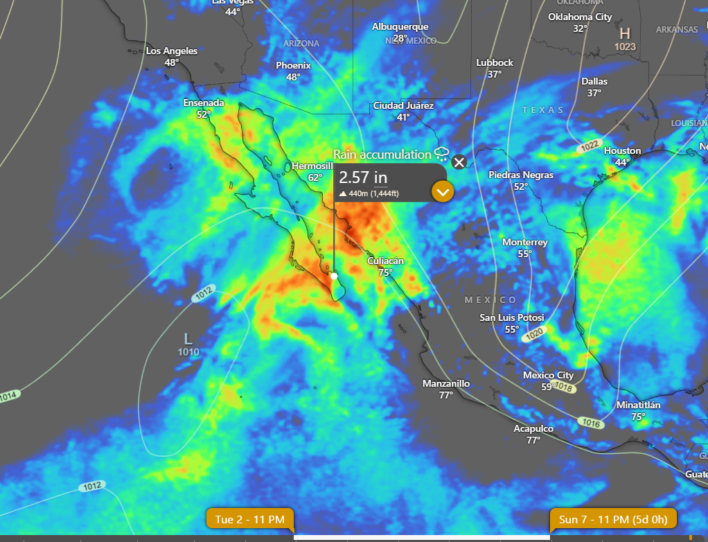
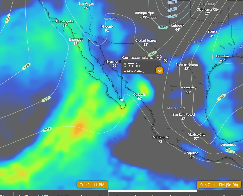
¡Buenos dias! Northwest winds of 15 knots were measured near us by an Oceansat satellite pass last night just after midnight, and model forecasts are in good agreement that significant north…northwest background wind will continue today. Infrared satellite loops early this morning showed patches of high clouds continuing to stream into BCS from the southwest, but significant clear areas were also noted. Model forecasts show we should see some sun filtering through today, so I’ll be optimistic that we will see enough to give us a significant thermal boost this afternoon. Surface high pressure centered near the 4-corners region of the U.S. will continue to bring ample north background wind to BCS on Friday, but increasing high clouds could dampen our afternoon thermal. The surface pressure gradient will the become very weak over BCS on Saturday, with only light winds expected. Similar conditions will likely last through Monday, with light winds and significant cloud cover. Model forecasts are in good agreement that surface high pressure will build into the southwestern U.S. on Tuesday and bring a new pulse of north wind to BCS, but it will likely be short-lived as long-range model forecasts show light winds returning on Wednesday.

(Tides)

  • Today…Mostly sunny. North wind 16-20 mph.
  • Friday…Partly sunny. North wind 16-18 mph.
  • Saturday…Partly sunny. Northeast wind 8-10 mph.
  • Sunday…Mostly cloudy. Light and variable wind.
  • Monday…Partly sunny. Northeast wind 8-10 mph.
  • Tuesday…Partly sunny. North wind 16-18 mph.
  • Wednesday…Mostly cloudy. Light and variable wind.

Wind – November 26, 2025

¡Buenos dias! One of the polar-orbiting satellites measured 15 knot NNW winds just east of Cerralvo around midnight as surface high pressure centered over northern Utah maintained a farily tight surface pressure gradient over BCS. The wild card today will be the thickness of high cloud cover, as all of the most recent model forecasts show a band of high clouds to our west will move over BCS by mid morning and may significantly dampen our local thermal. Model forecasts are in good agreement that the surface high will move into the 4-corners area of the U.S. on Thursday then begin to weaken on Friday, with north background flow continuing over our region. Although models show some high clouds will stream in from the southwest Thursday into Friday, there may be some thin spots in the cloud cover and we could see just enough filtered sunshine to at least partially trigger our thermal. The background flow over BCS will likely become light on Saturday as the surface pressure gradient becomes very weak. Surface low pressure is then forecast to move from northern Arizona Sunday eastward into west Texas on Monday, and this will continue our streak of down days. A weak pulse of north flow may reach us on Tuesday, but model forecasts are in good agreement that we will still see abundant high clouds so our local thermal may be relatively anemic.

Nerd Note: Over the past week or so the long-range global models have been hinting at a possible significant rain event beginning Wednesday of next week and continuing through the following weekend. Model forecasts are now in fairly good agreement that a mid to upper-level low pressure system will track from west to east across the Baja Peninsula on Wednesday. Circulation around this system may drag a weak surface low from deep in the tropics to our southwest…northeastward into BCS on Wednesday with widespread showers and maybe even a few thunderstorms. Very unsettled weather is then forecast to continue Thursday possibly into the following Sunday as a very strong mid and upper-level storm system dives southward from California into BCS and then moves very slowly eastward…producing an extended period of showers and isolated thunderstorms. Below are 2 graphs showing model forecasts of cumulative rainfall from Wednesday, December 3 through Sunday, December 7. In addition to the rain, models are in good agreement that we will also see very light winds during that period.

(Tides)

  • Today…Increasing high clouds. North wind 16-18 mph.
  • Thursday…Mostly sunny. North wind 16-20 mph.
  • Friday…Mostly sunny. North wind 16-18 mph.
  • Saturday…Mostly sunny. Northeast wind 8-10 mph.
  • Sunday…Partly sunny. Light and variable wind.
  • Monday…Partly sunny. Light and variable wind.
  • Tuesday…Partly sunny. North wind 14-16 mph.

Wind – November 25, 2025

¡Buenos dias! NNW winds of 15 knots were measured by an Oceansat satellite around midnight, and all of the most recent batch of model forecasts show solid north…northwest flow will continue today. Some morning low clouds will thin by around noon and with lots of sunshine expected this afternoon we should see a significant local thermal accelerate and pull the winds onshore. Surface high pressure over the western U.S. will remain in place through Thursday and give us more than enough north background flow to continue this windy streak of days. Models are in good agreement that the suface high will weaken on Friday, but at this point it looks like we may have just enough background north flow remaining for one more good day. While the long-range models disagree on some details, a light wind weather pattern will likely begin on Saturday and extend into Monday.

(Tides)

  • Today…A few morning clouds then becoming sunny. North wind 20-24 mph.
  • Wednesday…Mostly sunny. North wind 18-22 mph.
  • Thursday…Mostly sunny. North wind 18-22 mph.
  • Friday…Mostly sunny. North wind 16-18 mph.
  • Saturday…Mostly sunny. Northeast wind 8-10 mph.
  • Sunday…Mostly cloudy. Light and variable wind.
  • Monday…Mostly cloudy. Light and variable wind.

Bottlenose Dolphins

Over the past few weeks, we’ve had the pleasure of encountering these playful and charismatic dolphins all around us. Often, we’ve seen them in large groups, feeding together and accompanied by opportunistic sea lions eager to grab a few leftovers. They’re among our most frequent visitors, sometimes appearing as small family groups, and other times delighting us with the sight of large pods cruising through the water.

Bottlenose dolphins are odontocetes, or toothed whales, meaning they have teeth unlike mysticetes, the baleen-bearing group of whales. They are among the most extensively studied marine mammals in the wild. Their presence in aquarium shows and the fame of the TV character Flipper have made them the most widely recognized dolphin species.

Typically gray in color, bottlenose dolphins get their name from their short, thick snout (or rostrum). Their bellies are lighter gray, almost white, while their backs are much darker.

These dolphins feed on a wide array of prey, including different fish species, squid, and occasionally crustaceans. Their hunting techniques are diverse and sometimes quite complex, such as using bubble curtains to corral fish. They use echolocation to navigate in dark or murky waters and to locate prey, producing clicks that bounce off objects and return information about location, size, and shape.

Highly intelligent and deeply social, bottlenose dolphins display complex behaviors and possess brains larger than ours. They communicate through a rich language of squeaks and whistles, with each individual having a unique “signature whistle”. They are very active on the surface and are keen bow-riders and wake-riders. We see them playing with our boat many times, and even sometimes “snout-riding” in front of large whales!

Each individual can be identified by the unique nicks and scars on their dorsal fins. Through photo-identification, scientists can monitor their movements and life histories over time. A single photo can be incredibly useful!

It is truly a gift to see these beautiful animals swimming in our waters. Dolphins should always remain wild, free to leap, play, be with their families, and ride the waves as they were meant to.

Wind – November 24, 2025

¡Buenos dias! An Oceansat satelllite pass around midnight measured NNW winds of 10-15 knots just east of Cerralvo. Surface high pressure centered off the west coast of the U.S. this morning will build eastward today and maintain a tight surface pressure gradient over BCS. Infrared satellite loops early this morning showed a patch of high clouds over BCS, but all of the model forecasts show clearing skies later this morning, so we should see a good thermal boost this afternoon. Model forecasts agree that the surface high to our north will maintain solid north background flow through at least Thursday. Some high clouds will begin to stream in from the southwest on Wednesday and continue into Thursday, but models indicate there should be plenty of thin spots to allow at least some filtered sunshine in and trigger our local thermal each day. North background flow will then weaken on Friday, but just enough might remain to combine with sunny skies and give us one more rideable day. Although there are some timing differences, the long-range global models generally agree that a light wind pattern will begin on Saturday and continue through the next weekend.

(Tides)

  • Today…A few morning clouds then becoming sunny. North wind 20-24 mph.
  • Tuesday…Sunny. North wind 18-22 mph.
  • Wednesday…Mostly sunny. North wind 18-22 mph.
  • Thursday…Mostly sunny. North wind 16-20 mph.
  • Friday…Sunny. North wind 16-18 mph.
  • Saturday…Mostly sunny. Northeast wind 8-10 mph.
  • Sunday…Mostly cloudy. Light and variable wind.

Wind – November 23, 2025

¡Buenos dias! An Oceansat satellite pass around midnight measured 15-20 knot WNW winds near Cerralvo as Pacific high pressure began building into BCS. Model forecasts are in excellent agreement that the WNW background flow will gradually become more northerly by mid-afternoon today, and with only a few high clouds expected, our local thermal should be able to pull the winds onshore. The surface pressure gradient will continue to tighten on Monday as high pressure builds into the western U.S., with borderline norte condtions likely developing here with the usual gusty N to NNW winds and increasing swell. The remainder of the forecast looks to be on track, as surface high pressure to our north will keep a solid north flow going through at least Thursday. At this point it appears that we still may have just enough north background wind on Friday for one more rideable day, but Saturday looks to be a down day as surface low pressure develops far to our north.

(Tides)

  • Today…Mostly sunny. North wind 16-20 mph.
  • Monday…Mostly sunny. North wind 20-24 mph and gusty.
  • Tuesday…Sunny. North wind 18-22 mph.
  • Wednesday…Mostly sunny. North wind 18-22 mph.
  • Thursday…Mostly sunny. North wind 16-20 mph.
  • Friday…Sunny. North wind 16-18 mph.
  • Saturday…Sunny. Northeast wind 8-10 mph.

Wind – November 22, 2025

¡Buenos dias! A satellite pass last evening measured very light south winds near Cerralvo, and all of the latest forecast models continue to show light winds for today. Surface low pressure responsible for our light winds will move across the northern Baja Peninsula today, then surface high pressure will begin building into our region from the Pacific on Sunday. Although some model forecasts show some west component to the background flow tomorrow, I’ll be optimistic for now that full sunshine will draw the background NNW wind onshore during the afternoon. Models are in excellent agreement that surface high pressure will strengthen as it builds into the western U.S. on Monday, with low-end norte conditions developing here. The norte should subside a bit on Tuesday, but surface high pressure is forecast to remain parked over the interior west of the U.S. through Friday, with north background flow only slowly decreasing Thursday and Friday.

(Tides)

  • Today…Mostly sunny. West wind 10-12 mph.
  • Sunday…Sunny. North wind 16-20 mph.
  • Monday…Mostly sunny. North wind 20-24 mph.
  • Tuesday…Sunny. North wind 18-22 mph.
  • Wednesday…Mostly sunny. North wind 18-22 mph.
  • Thursday…Mostly sunny. North wind 16-20 mph.
  • Friday…Sunny. North wind 16-18 mph.

Wind – November 21, 2025

¡Buenos dias! An Oceansat satellite pass around midnight confirmed model predictions of decreasing NNW winds over the Sea of Cortez, and all of the most recent numerical model forecasts show very light background flow for today. Surface low pressure lurking off the far northern Baja Peninsula this morning will move slowly inland on Saturday, and circulation around this system will produce northwest to west background winds over BCS. Pacific high pressure will begin building into the Baja Peninsula on Sunday, with increasing NNW winds here. We will see a sunny day on Sunday, so our local thermal should be able to pull most of the west component out of the background flow, but some of the northern beaches may see some wind shadowing and gusty conditions. Surface high pressure will then build into much of the western U.S. on Monday, and with a tightening surface pressure gradient over BCS, we may see norte conditions develop. While norte conditions will likely subside on Tuesday, moderate north background flow is forecast to continue. The surface high is then forecast to build into the 4-corners region of the U.S. on Wednesday and remain in place through Thursday, with solid north background winds continuing here. Sunny to mostly sunny skies should trigger our local thermal as well, with an added thermal boost each day.

(Tides)

  • Today…Sunny. Northeast wind 10-12 mph.
  • Saturday…Sunny. West wind 10-12 mph.
  • Sunday…Sunny. North/northwest wind 16-20 mph.
  • Monday…Mostly sunny. North wind 20-24 mph.
  • Tuesday…Sunny. North wind 18-22 mph.
  • Wednesday…Mostly sunny. North wind 18-22 mph.
  • Thursday…Sunny. North wind 16-20 mph.

Wind – November 20, 2025

¡Buenos dias! Yesterday was a great example of the sensitivity of our local thermal to cloud cover, as we got an unexpected partial thermal bump especially at southern beaches where the campground showed 10 minute average wind speeds of 13-16 mph from around 1:30 pm until 5 pm. Satellite imagery showed a very fortunate localized clearing trend yesterday morning…lasting into the early afternoon over the plains (see image below), and that was just enough. Infrared satellite loops early this morning indicated the last of the cloud cover was moving off to the east, and with surface high pressure forecast to build into the central Baja Peninsula today, model forecasts are in excellent agreement that north flow will increase from its anemic levels of late. Unfortunately the wind party will be a short one, as model forecasts continue to indicate light winds returning on Friday as surface low pressure approaches the northern Baja Peninsula. The low will move slowly eastward on Saturday, with light winds continuing over BCS. Models continue to be in good agreement that Pacific high pressure will build into our region on Sunday, with north flow again increasing. Surface high pressure will then begin building into the interior of the western U.S. on Monday, and as this happens, the surface pressure gradient over BCS will tighten further, with norte conditions possible. Long-range model forecasts are in very good agreement that surface high pressure will remain in place to our north through at least Friday, with solid north background flow continuing.


(Tides)

  • Today…Sunny. North wind 18-22 mph.
  • Friday…Sunny. Northeast wind 10-12 mph.
  • Saturday…Sunny. Northwest wind 8-10 mph.
  • Sunday…Mostly sunny. North wind 16-20 mph.
  • Monday…Mostly sunny. North wind 20-24 mph.
  • Tuesday…Mostly sunny. North wind 18-22 mph.
  • Wednesday…Sunny. North wind 18-22 mph.

Wind – November 19, 2025

¡Buenos dias! An Oceansat satellite pass around midnight measured 10-15 knot NW winds east of Cerralvo, and while model forecasts show decreasing winds this morning, several models indicate the background flow remaining just above the threshold that would normally trigger our local wind machine…on a sunny day. Unfortunately infrared satellite loops this morning show a band of thick middle and high clouds streaming into BCS from the southwest, and all of the recent model forecasts show substantial cloud cover will continue today, and this will likely significantly dampen our local thermal. Full sunshine will return on Thursday, and as a ridge of high pressure builds over the central Baja Peninsula, north winds will increase, and an added thermal boost should bring us a windy afternoon. Thursday night into Friday a storm system just offshore of southern California will drop slowly southward to a point offshore from El Rosario, BC, then move slowly eastward across BC on Saturday. As this happens, circulation around the low will bring us generally light and variable winds both Friday and Saturday. Models are in good agreement that as the low continues eastward on Sunday, surface high pressure will begin to build into the western U.S. and Baja Peninsula, with solid north flow returning here. As the surface pressure gradient continues to tighten on Monday, we may see our first real norte (my loose definition is sustained winds of at least 20 mph that last into or through the night, together with a significant swell). Long-range model forecasts are in good agreement that solid north flow will continue Tuesday and possibly through Thursday of next week.

(Tides)

  • Today…Mostly cloudy. North wind 10-12 mph.
  • Thursday…Sunny. North wind 18-22 mph.
  • Friday…Sunny. Northeast wind 8-10 mph.
  • Saturday…Sunny. Northwest wind 8-10 mph.
  • Sunday…Sunny. North wind 16-20 mph.
  • Monday…Sunny. North wind 20-24 mph.
  • Tuesday…Sunny. North wind 18-22 mph.