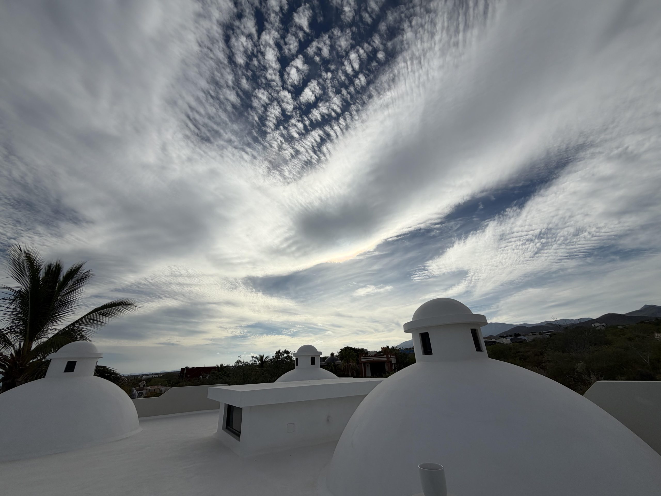
¡Buenos dias! All of the polar orbiting satellites missed BCS last evening, but the latest model forecasts show light west to northwest winds over our area today. In addition…infrared satellite loops early this morning showed more high clouds cover streaming in from the southwest (see nerd note below), so our thermal will likely be a no-show as well. Monday looks to be another down day as the surface pressure gradient remains weak over BCS and high clouds dampen our local thermal. The latest model forecasts still hold some hope that Tuesday will bring rideable winds as north background flow increases and the cloud cover thins a bit. Models then show moisture from deep in the tropics to our southwest will be drawn into BCS on Wednesday and Thursday, with more clouds and even a few showers possible. A weak surface pressure gradient with very light background flow will return as well on Wednesday, so a down day appears likely. Surface high pressure will begin building into the interior west of the U.S. on Thursday and north flow will likely increase over our region, but significant cloud cover will continue to dampen our thermal. We should finally begin to crawl out of this wind drought on Friday, as long-range models show surface high pressure building into the 4-corners region of the U.S. and the surface pressure gradient tightening over BCS. Some low clouds and sprinkles may linger into Friday, but we should see at least some sunshine during the afternoon. Saturday looks to be a return to more normal La Ventana conditions, with solid north background flow and sunny skies combining to give us a windy day.
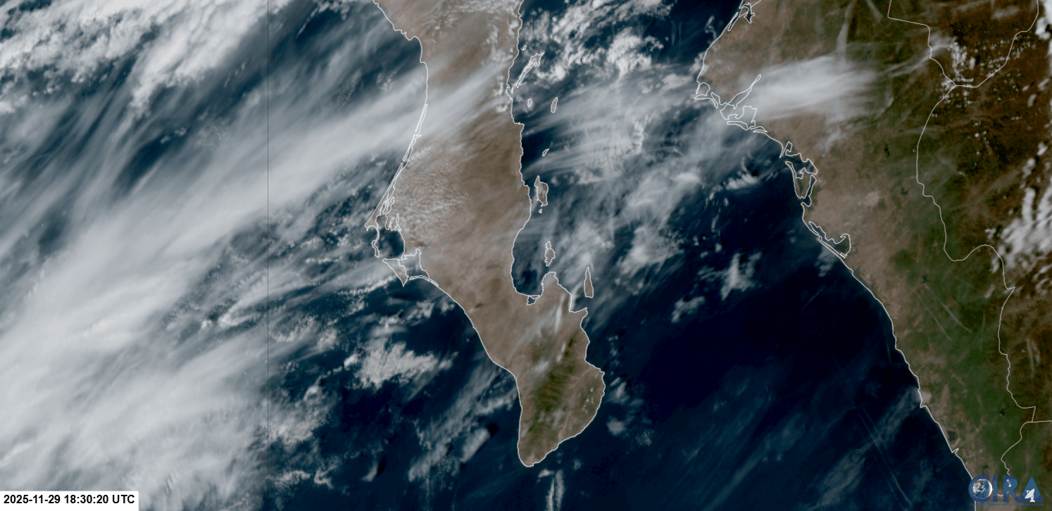
Nerd Note: Some of you may have noticed the strange-looking clouds over us yesteday (see picture below). They are called mountain wave clouds or lenticular clouds, and are caused by strong winds being forced up and over a mountain range in a relatively stable environment. Here is a satellite loop from yesterday afternoon. Notice the elongated clouds over the mountains just to our southwest remain stationary while the rest of the high clouds race from southwest to northeast across BCS.
- Today…Mostly cloudy. Light and variable wind.
- Monday…Mostly cloudy. Northeast wind 8-10 mph.
- Tuesday…Partly sunny. North wind 16-18 mph.
- Wednesday…Mostly cloudy with a few showers possible. Light and variable wind.
- Thursday…Mostly cloudy with scattered showers. North wind 12-14 mph.
- Friday…Partly sunny with a few sprinkles possible. North wind 16-18 mph.
- Saturday…Sunny. North wind 18-22 mph.