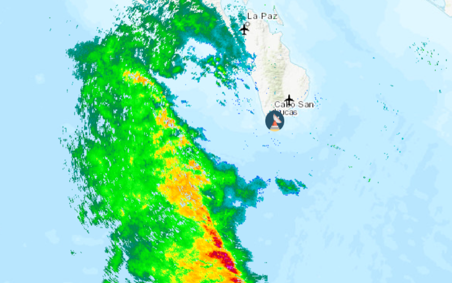
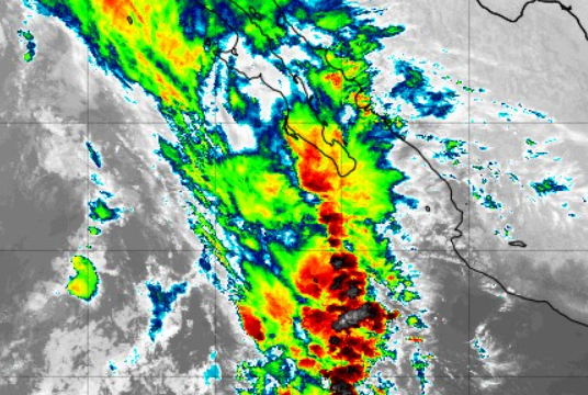
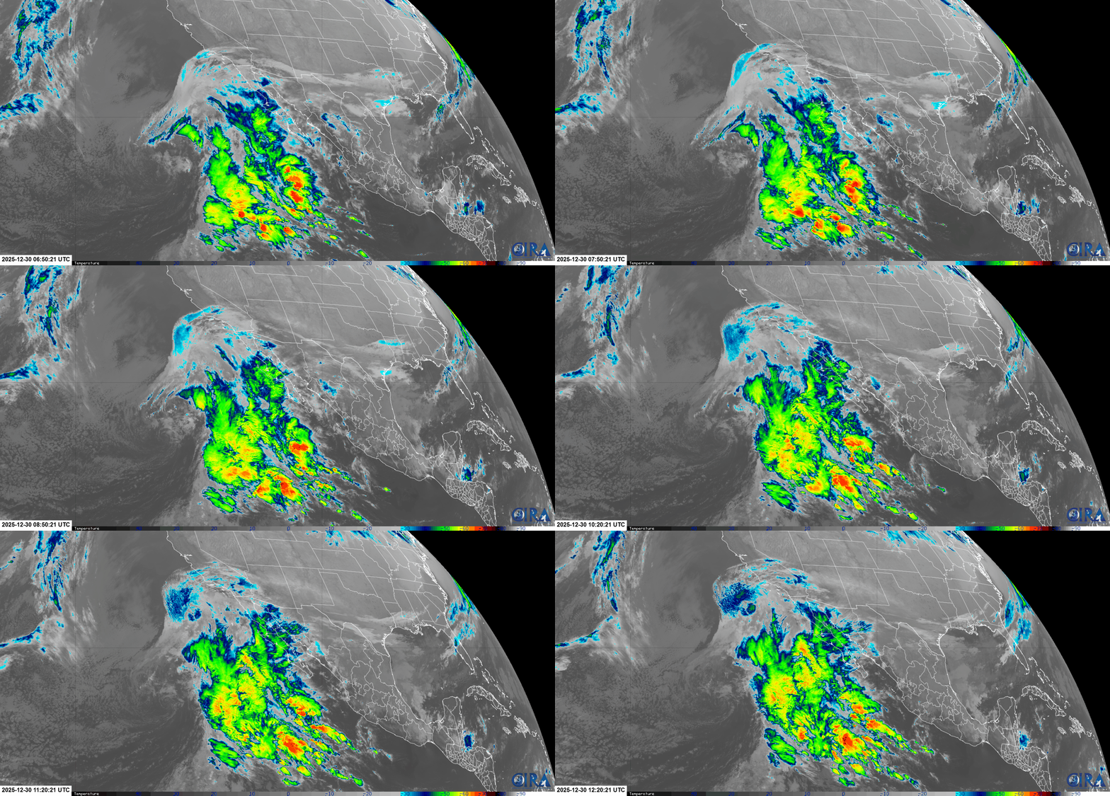
¡Buenos dias! The Chinese Haiyang weather satellite passed over BCS around midnight and measured 15 knot NW winds over much of the southern Sea of Cortez as a surface high pressure system remains anchored near the 4-corners region of the U.S. Model forecasts are in good agreement that the NW background flow will be temporarily weakened today as a large area of low pressure to the west of the Baja Peninsula moves north towards the west coast of the U.S. Infrared satellite loops early this morning showed very thick cloud cover being drawn over our region (see below), and model forecasts indicate thick cloud cover will likely continue today with our local thermal essentially being shut down. A weather radar image from Cabo San Lucas (Mexican National Meteorological Service…see image below) at around 5 am this morning showed a large band of moderate to heavy rain about 150 km to the west, but all of the model forecasts show this area of rain will weaken as it approaches BCS, with only a few sprinkles likely here later today. The low to our west will move inland over California this evening and as drier air moves into BCS on Thursday, we will see the return of mostly sunny skies. The model forecasts are in excellent agreement that the surface high over the 4-corners area will remain essentially locked in place through the upcomong weekend and into early next week, ensuring ample north background flow here. Some thin, high clouds will continue to stream overhead from time to time each day, but sufficient filtered sun should help give us a good thermal boost as well.


- Today…Cloudy with a few sprinkles possible. Northeast wind 8-10 mph.
- Thursday…Mostly sunny. North wind 16-20 mph.
- Friday…Mostly sunny. North wind 20-24 mph.
- Saturday…Mostly sunny. North wind 18-22 mph.
- Sunday…Mostly sunny. North wind 18-22 mph.
- Monday…Mostly sunny. North wind 18-22 mph.
- Tuesday…Mostly sunny. North wind 18-22 mph.
