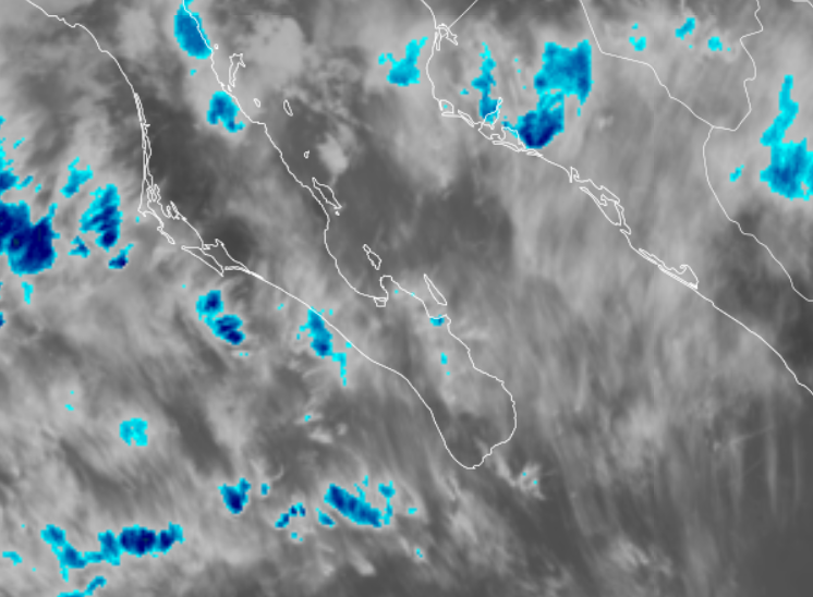
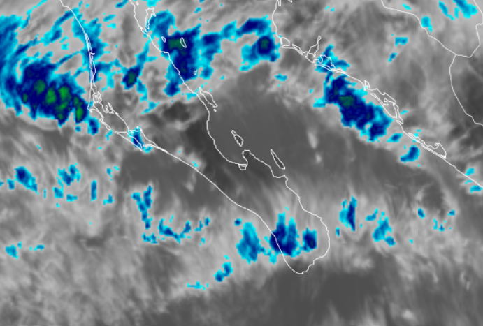
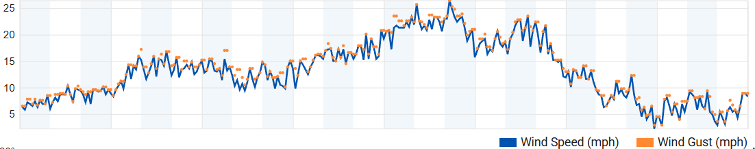
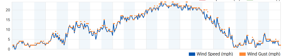
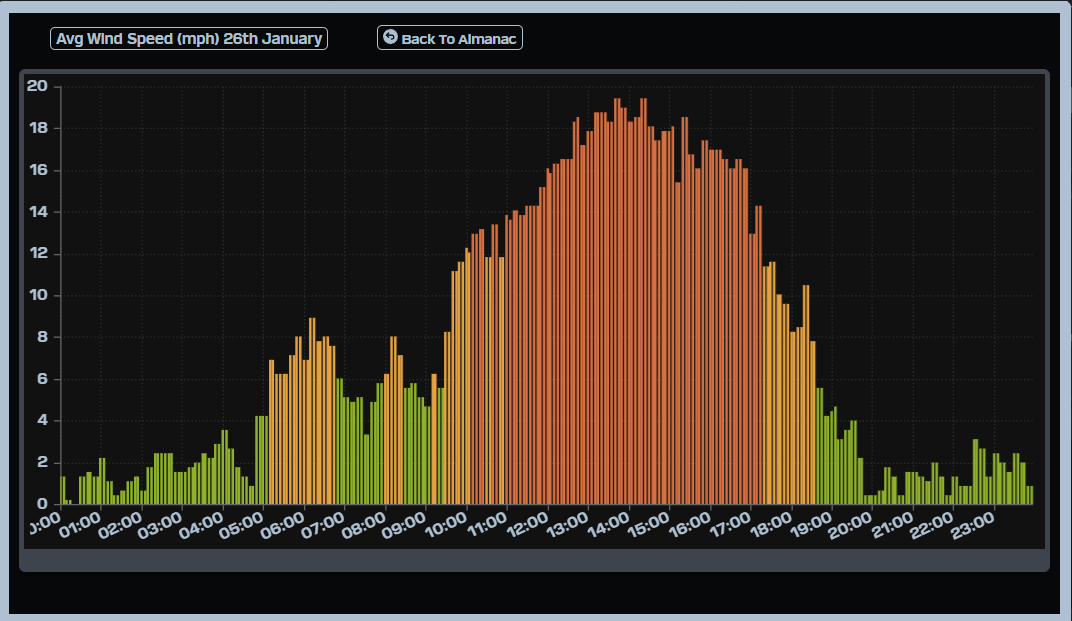
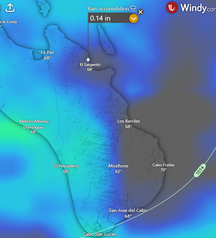
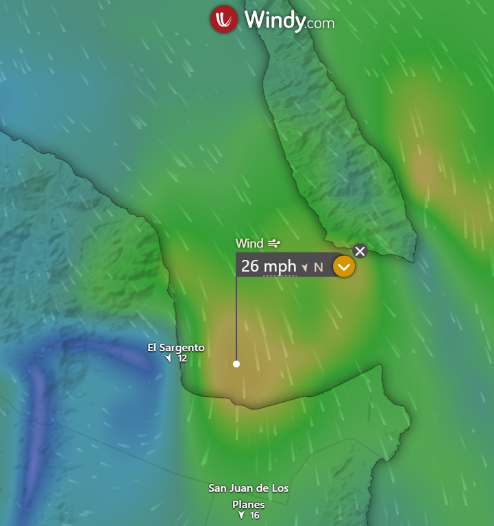
¡Buenos dias! Sustained winds at the campground yesterday peaked at 20 mph with gusts to 29 mph, with inconsistent and gusty conditions noted at Rasta. An Oceansat satellite pass just after midnight measured NW winds of 20 knots near Cerralvo, and wind gusts up to 30 mph were measured just up the hill from Rasta Beach early this morning. While nearly all of the most recent model forecasts show the norte weakening this morning, solid NW background flow will continue through this afternoon. Models are also in good agreement that a west component will continue today, particularly on northern beaches, so expect gusty, wind-shadowed conditions there. I will mention that for the past couple of days the HRRR (High Resolution Rapid Refresh) model has been consistently forecasting strong winds farther out into the bay along the track of today’s Lighthouse 1000 race (see graphic below of HRRR forecast of sustained winds for 1 pm today). This latest norte is forecast to die a quick death tonight, and Sunday will likely see only marginal winds at best. A weak surface pressure gradient is forecast to continue over BCS on Monday, then surface high pressure centered far to our north will build into the Baja Peninsula on Tuesday with increasing north background flow. At this point the forecast models are in good agreement that sufficient north background flow will continue through Thursday and possibly into Friday.
- Today…Partly sunny. North wind 18-22 mph.
- Sunday…Partly sunny. North wind 12-14 mph.
- Monday…Sunny. Northeast wind 10-12 mph.
- Tuesday…Mostly sunny. North wind 16-18 mph.
- Wednesday…Mostly sunny. North wind 16-18 mph.
- Thursday…Sunny. North wind 16-18 mph.
- Friday…Sunny. North wind 16-18 mph.